

Dubai to Introduce Redesigned Street Signs Featuring QR Codes and Standardised Designs by 2030.
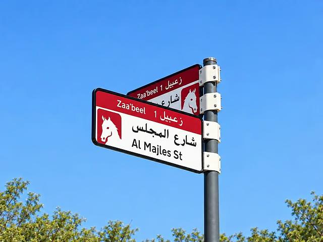
Dubai: Street signs, neighbourhood identification boards and residential address plates across Dubai are set to undergo a major transformation, with redesigned layouts, coordinated colour schemes and QR code technology being introduced in 186 areas by 2030.
The initiative forms part of Dubai’s upgraded addressing system, designed to make navigating the emirate easier for residents, drivers and tourists by improving the identification of streets, neighbourhoods and individual buildings.
The updated signage will feature a consistent visual appearance and enhanced digital accessibility, helping people locate destinations more conveniently.
Here is a detailed look at the planned changes, the areas included in the initial rollout and how the new signage system will work.
What Changes Are Being Introduced to Dubai’s Addressing System?
Dubai’s Supreme Committee for Urban Planning, working alongside the Roads and Transport Authority (RTA) and Dubai Municipality, is implementing a standardised design framework for signs identifying residential communities, streets and properties.
The updated addressing system will introduce several improvements:
- Community identification boards: Redesigned signs will clearly display the names of residential neighbourhoods and communities, making them easier to recognise.
- Internal street name signs: Updated signage will provide clearer street names within residential districts and other neighbourhoods.
- Residential address plates: Newly designed property identification plates will incorporate Makani location numbers and QR codes to support accurate address identification.
- QR code integration: Scannable digital codes will offer additional information about specific locations, street names and nearby landmarks or attractions.
All new signage will follow coordinated design standards and colour schemes, creating a more organised and visually consistent addressing network throughout Dubai.
Which Dubai Neighbourhoods Will Receive the New Signs First?
The first stage of implementation is scheduled for 2026, during which more than 2,000 signs will be installed or replaced across five selected locations.
The initial rollout will cover:
- Za’abeel 1
- Za’abeel 2
- Nad Al Sheba
- Al Khawaneej 1
- Nazwa
Following the initial phase, the project will expand across Dubai beginning in the fourth quarter of 2026.
The broader implementation will cover 186 areas across 19 sectors, with the complete transformation of the emirate’s addressing signage expected by 2030.
The initiative aims to establish a clearer, more accessible and digitally connected addressing system that supports Dubai’s ongoing urban development and improves navigation for residents and visitors.
The rollout of Dubai’s new addressing system will be carried out according to several key factors, including population concentration, the pace of urban development, traffic volumes, the presence of residential communities and tourist destinations, and the number of streets that have yet to receive official addresses.
What Details Will the New QR Codes Offer?
As part of the upgraded addressing system, residential property plates will feature a Makani number, Dubai’s distinctive 10-digit geographical location code, together with a scannable QR code.
The QR code technology will also be incorporated into other identification signs, allowing residents and visitors to access useful location-based information through their smartphones.
The digital features will provide information about:
- Communities and districts: Details about different neighbourhoods, sectors and residential areas across Dubai.
- Street and neighbourhood names: Explanations of the origins and meanings of street names and community names.
- Nearby attractions: Information about surrounding landmarks, popular destinations and important points of interest.
As the initiative progresses, the standardised signage design is expected to be integrated into public bus stops, smart digital applications and neighbourhood map displays, creating a more connected and accessible navigation experience.
Understanding Dubai’s Existing Road Sign Colours
Although Dubai is introducing redesigned street identification signs and residential address plates, the project does not involve replacing the emirate’s existing colour-coded highway and road navigation system.
Dubai currently uses different sign colours to distinguish major highways, roads within the emirate, residential streets and tourist attractions. Each colour serves a specific purpose, helping motorists identify routes and reach their destinations more efficiently.
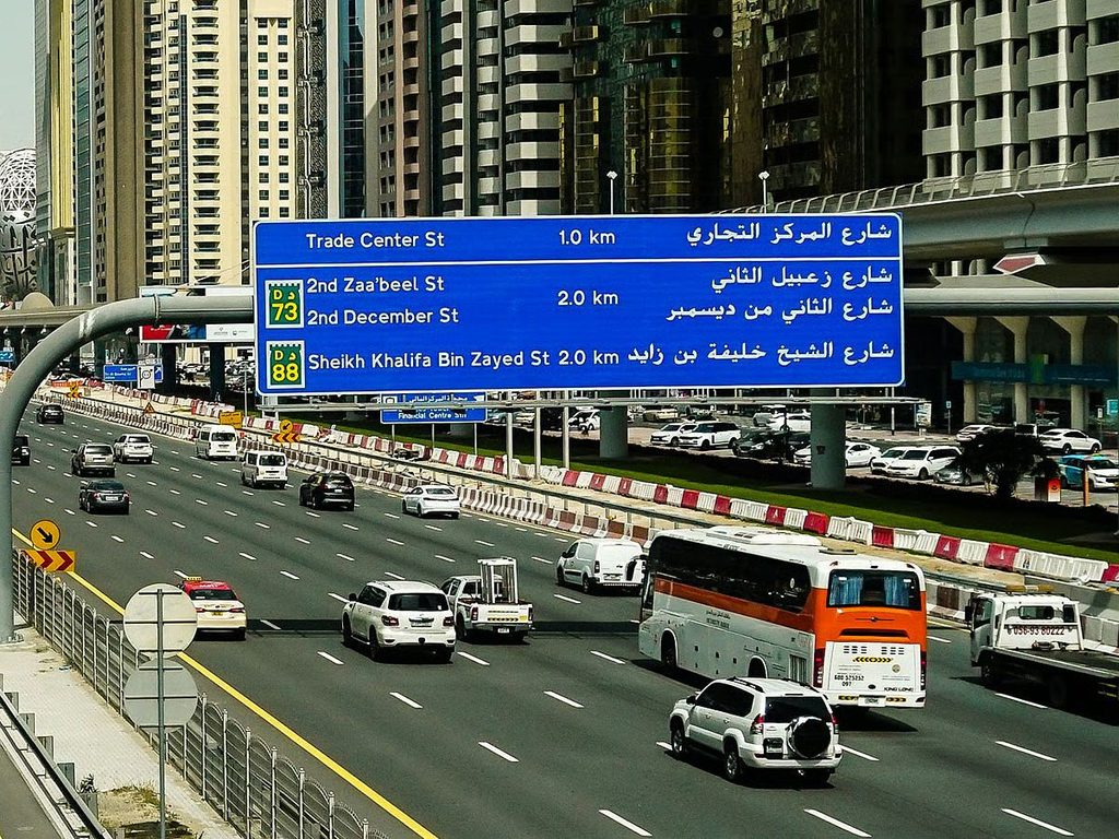
Blue Road Signs – Highways Connecting UAE Emirates
Blue road signs are primarily used to identify major routes connecting different emirates across the UAE, commonly referred to as E Routes.
These signs typically display the UAE’s falcon emblem and guide motorists along important inter-emirate highways.
Examples include:
- Sheikh Zayed Road (E11): A major highway connecting Dubai with other emirates.
- Emirates Road (E611): An important inter-emirate route linking different parts of the UAE.
Blue signs help drivers recognise routes that extend beyond Dubai and connect with the wider national road network.
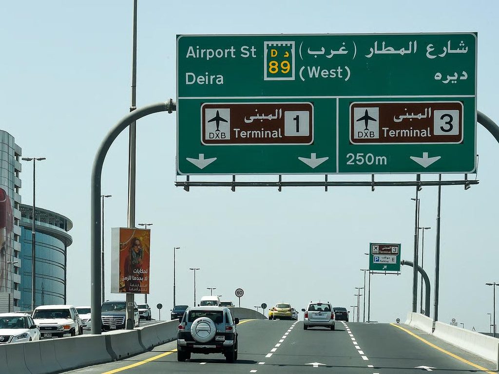
Green Road Signs – Routes Within Dubai
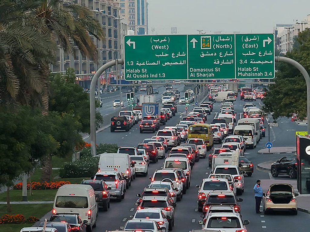
Green road signs are associated with roads located within Dubai, commonly classified as D Routes.
These signs help motorists navigate the emirate’s internal road network and identify routes connecting different districts, commercial centres and residential communities.
They generally feature Dubai’s road emblem, represented by a castle symbol, distinguishing them from the blue signs used for inter-emirate highways.
White Road Signs – Residential Streets and Local Communities
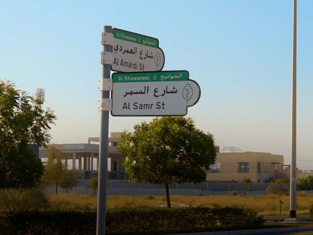
White street signs are commonly installed along internal roads in residential neighbourhoods and local communities.
They display street names and other identification details, making it easier for residents, visitors, delivery personnel and emergency service providers to locate specific streets and properties.
These signs play an important role in improving address identification and navigation within residential areas.
Brown Road Signs – Tourist Destinations and Landmarks
Brown road signs are designed to guide motorists towards tourist attractions, cultural landmarks, recreational facilities and other notable destinations.
They often include symbols or pictograms indicating the type of attraction, allowing drivers to quickly recognise places of interest.
These signs are particularly useful for tourists and visitors exploring Dubai’s major attractions and heritage destinations.
When Will Dubai’s New Addressing System Be Fully Implemented?
Dubai’s upgraded addressing system will be introduced gradually, with the entire project expected to be completed by 2030. By then, the redesigned signage is planned to be installed across all 186 designated areas throughout the emirate.
For residents and visitors, the improvements will include standardised street and neighbourhood identification signs, modernised residential address plates and QR codes offering convenient access to additional location details.
The initiative aims to simplify navigation, improve address accuracy and create a more efficient, digitally connected system for identifying streets, communities and properties across Dubai.